Geo-coding is the process of converting a street address or name of a landmark into latitude & longitude coordinates so you can do such things as:
- Plot your customer’s on a map
- See how far customers travel to reach your store
- Learn where it’s safe to eat in Wanganui
A number of services can be used to Geo Code your addresses such as:
Among others. Most of these tools have a free level that allows you to geocode X addresses per day and a paid level where you are changed based on each address you fetch the latitude and longitude for.
Step 1 – Download our Geo Coding Tool Kit
Click here to download the spreadsheet (Excel for Windows Only). It contains a set of Macros that allow you to select the addresses you want to Geo Code.

Step 2. Open Excel and Select Enable Macros

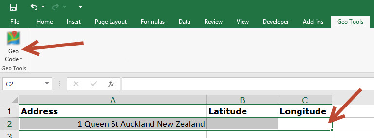
Step 3. Copy and Paste your Addresses into the Spreadsheet
Create a single field containing the address in the format:
[Street Number] [Street Name] [Suburb] [City] [Country]
e.g. 1 Queen St Central Auckland New Zealand
It doesn’t need to be exactly this format but a format similar to this will give the best results.
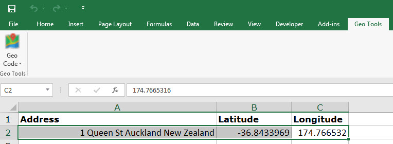
Step 4. Click Geo Code


If you have over 2000 addresses to code in one day you’ll need to signup for a Google Developer account and obtain an API key.
Next Steps
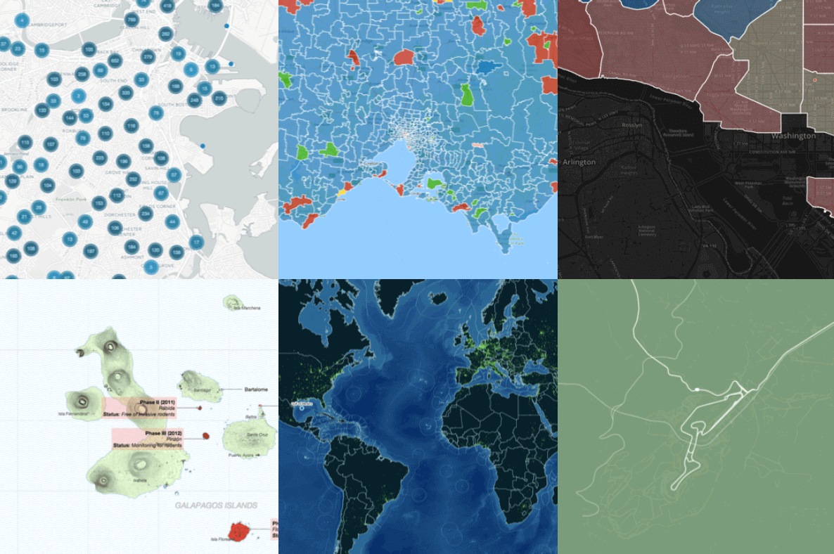
Take your data and plot it onto a map creating something like one of these:

Need help visualizing your data to gain insightsinto how your customer’s behave? Please get in touch with us on: [email protected], +64 9 379 2450.
